Marydale Park
Between Mackubin Street, Dale Street, Jessamine Street, Maryland Avenue, and railroads, St. Paul MN (?-1974)
 Photograph of Marydale Park, Courtesy of the City of St. Paul. |
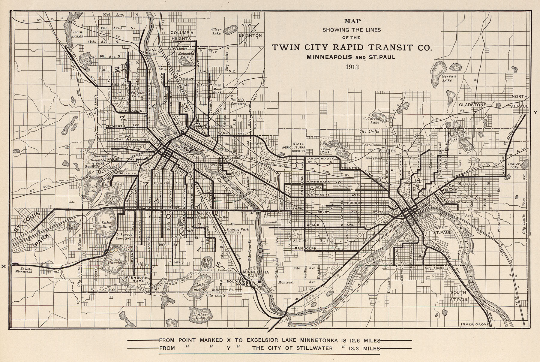
Within earshot of a bordering railroad, Marydale (so named for its boundary intersections of Maryland and Dale) is an indication of the Twin Cities’ onetime dependence on locomotives for industrial prowess.
|
One may not be surprised to discover that Marydale became a popular dumping site for industrial waste.(2) Before the Federal Government established the Environmental Protection Act in 1970, weak government regulation permitted chemical distributors, railroad maintenance facilities, and other manufacturing sites to deposit waste in unclaimed areas.
The lake and its surroundings existed amid a confluence of the capital city’s main vehicular arteries. Thus, it was an extremely unpopular site within a popular district—in the late 1960s and early 1970s, this permitted queer men to use the park for clandestine sexual activity. Jean-Nickoalus Tretter, director of the Jean-Nickolaus Tretter Collection and longtime resident of St. Paul, noted that Marydale was a popular cruising destination for residents of the capital city’s northern suburbs.(3) The (typically married) men passed the “natural area” on their way to and from work in the central city, and were confident that objecting (and arresting) sorts had no business in the polluted wasteland.(4)
This changed in 1974, when nearby residents acted to clean up Loeb Lake, remove overgrown shrubbery, and redevelop the new park as a children’s recreational area.(5) The “kiddie park” disrupted a queer underground that may have been operating for decades. To date, the present location of this relocated activity is unknown.
(1) http://www.lib.utexas.edu/maps/historical/txu-oclc-6445490-electric_railway-minneapolis-st_paul-1913.jpg. Retrieved 3/27/10
(2) From the City of St. Paul's Website, http://mn-stpaul.civicplus.com/facilities.aspx?pagenum=24&RID=67&Page=detail. Retrieved 3/27/10
(3) Tretter, Jean-Nickolaus. Interview with the author and Jacob Gentz, 1/16/09
(4) Ibid.
(5) City of St. Paul, Ibid.
Part of Minneapolis/St. Paul, MN: 100 Queer Places in Minnesota History, (1860-1969), (1969-2010)